VIZOLOGY 101
Navigation Tips
Navigation Tips
PIN MAP
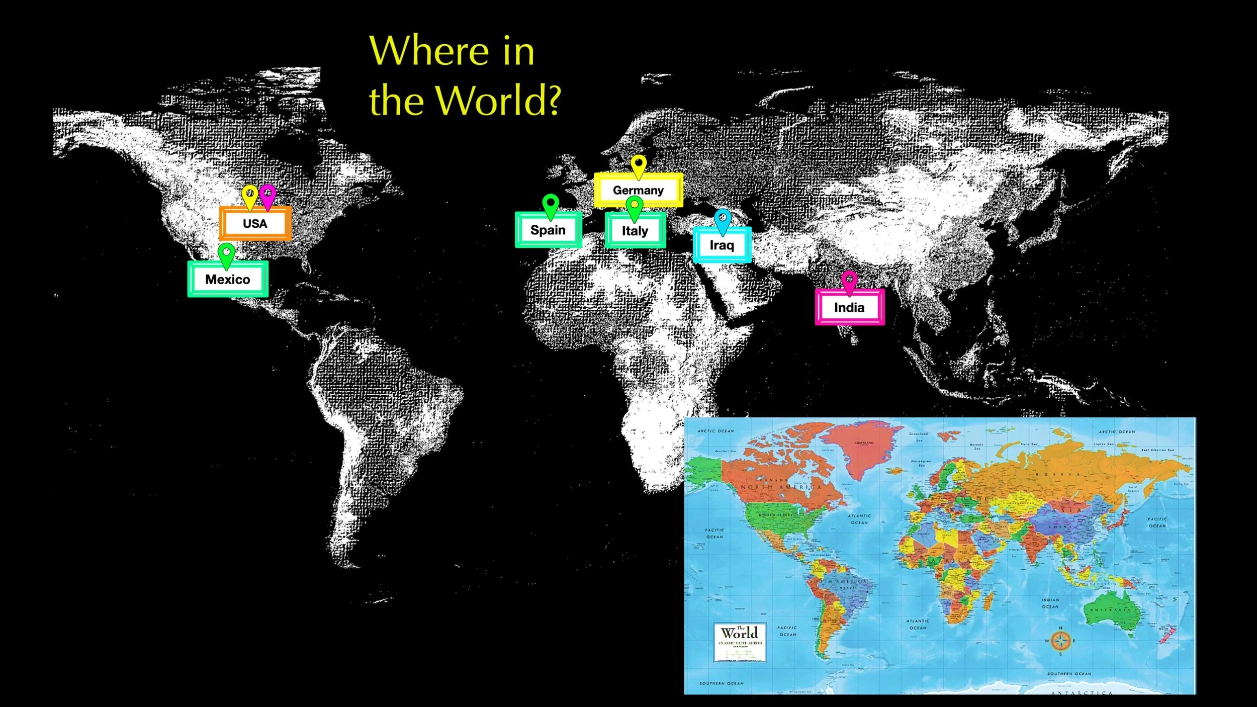
STEP 1
Read the title and look at the map to get an idea of what it shows. This map may look different from other maps you’ve seen. It shows the oceans and continents without any country borders. It does identify seven key locations and marks them with color coded pins. Read the place names.

STEP 2
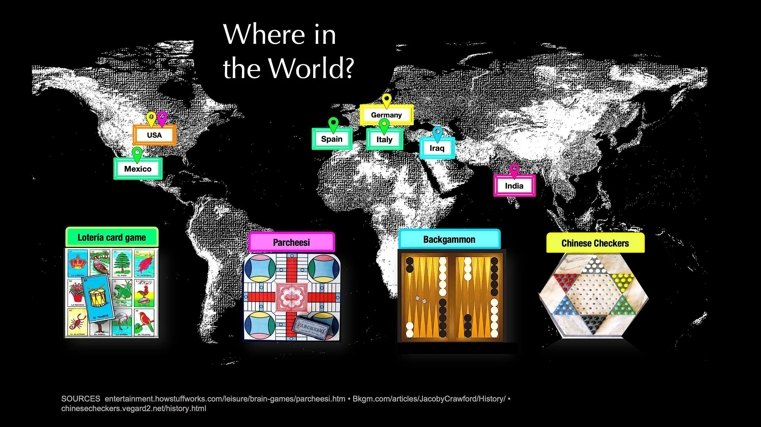
Find the data sources.
Are these good sources of information about where board games were invented?
A yes
B no
Next, look at the picture of each board game and read the label. The pictures are color coded to match location pins on the map.
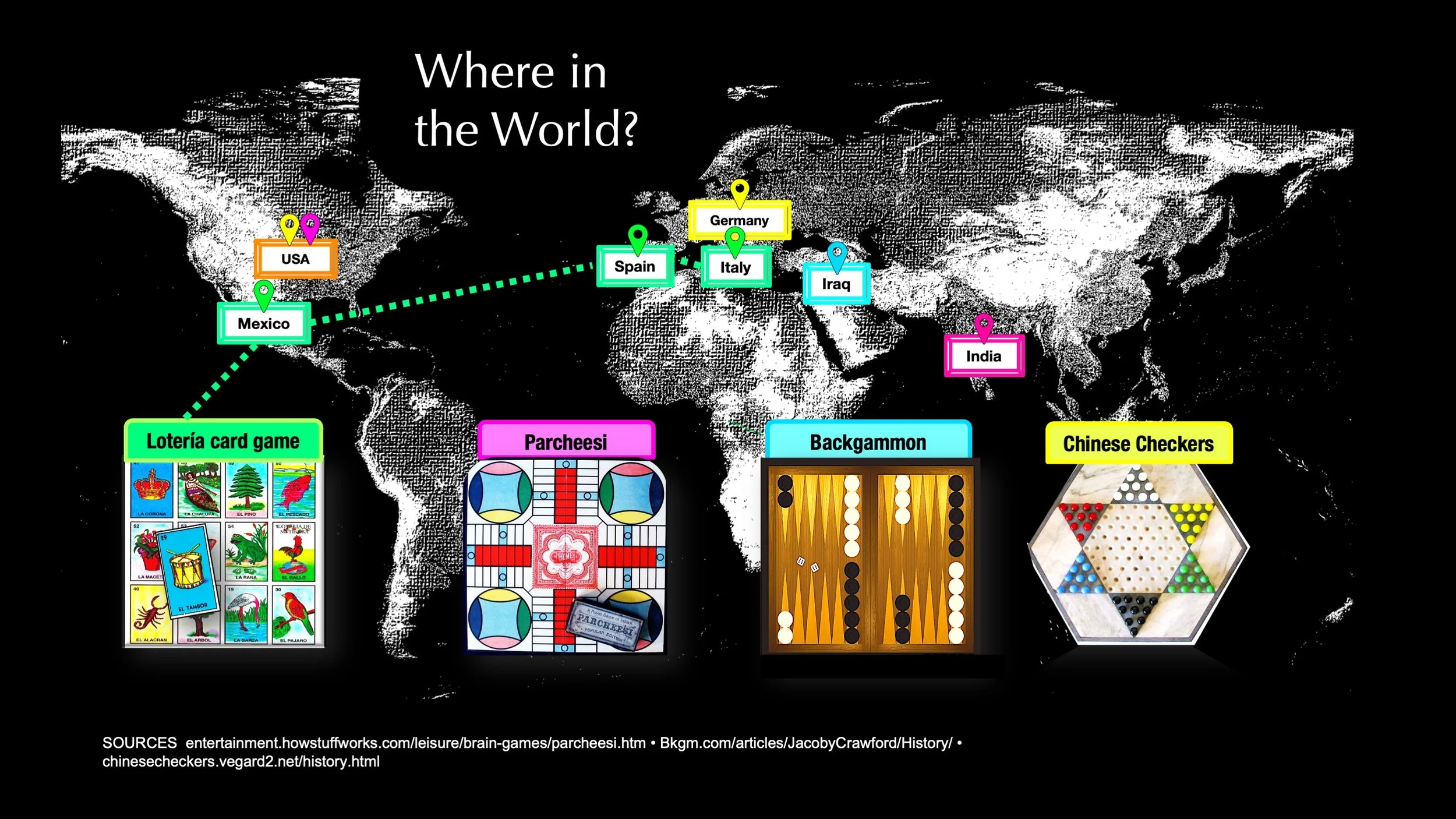
STEP 3
Use the color coding to learn where the board games were invented. Some games were developed in more than one place.
TAKE A CLOSER LOOK
Which games have a connection to the U.S?
Find the label that says USA, and check the color-coded pins. There are two; one yellow and one pink. Next, find the game with a yellow label and the game with a pink label. The answers are
A Loteria and Backgammon
B Chinese Checkers and Parcheesi
C Backgammon and Chinese Checkers
BE VIZ SMART ✺
What do you think happens when you show the round 3D Earth on a flat 2D map? Things get bent, stretched, and distorted. Mapmakers try different solutions so maps of the same location may show places in different sizes, shapes, and positions.
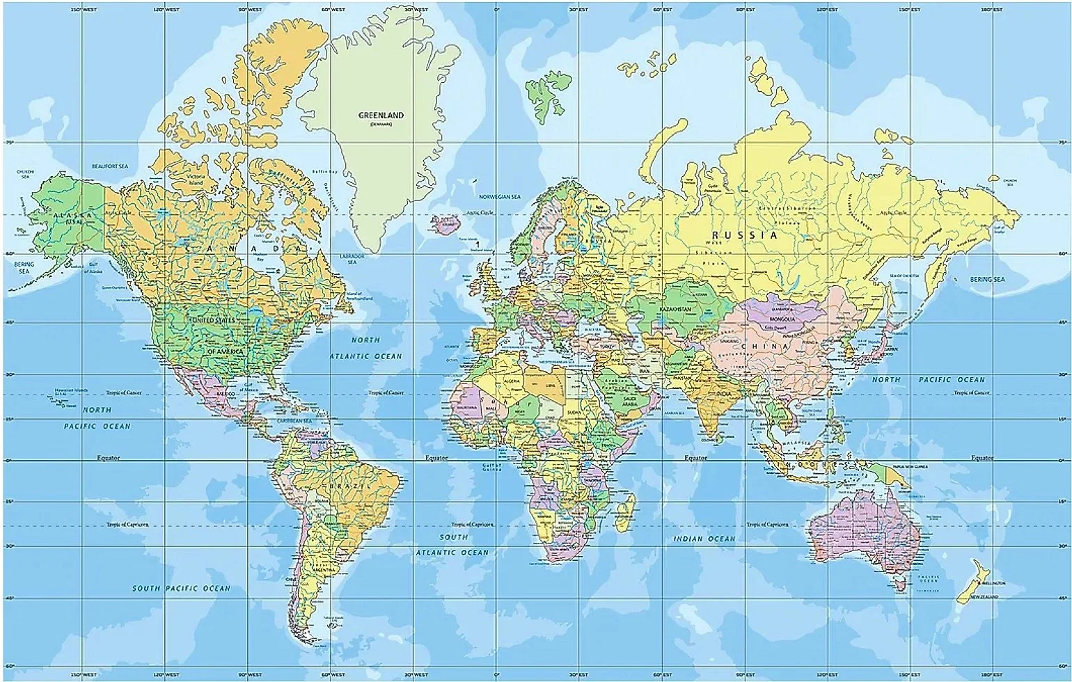
▲The Mercator world map shows the accurate shapes of the continents but makes places close to the Equator look much smaller than they are.
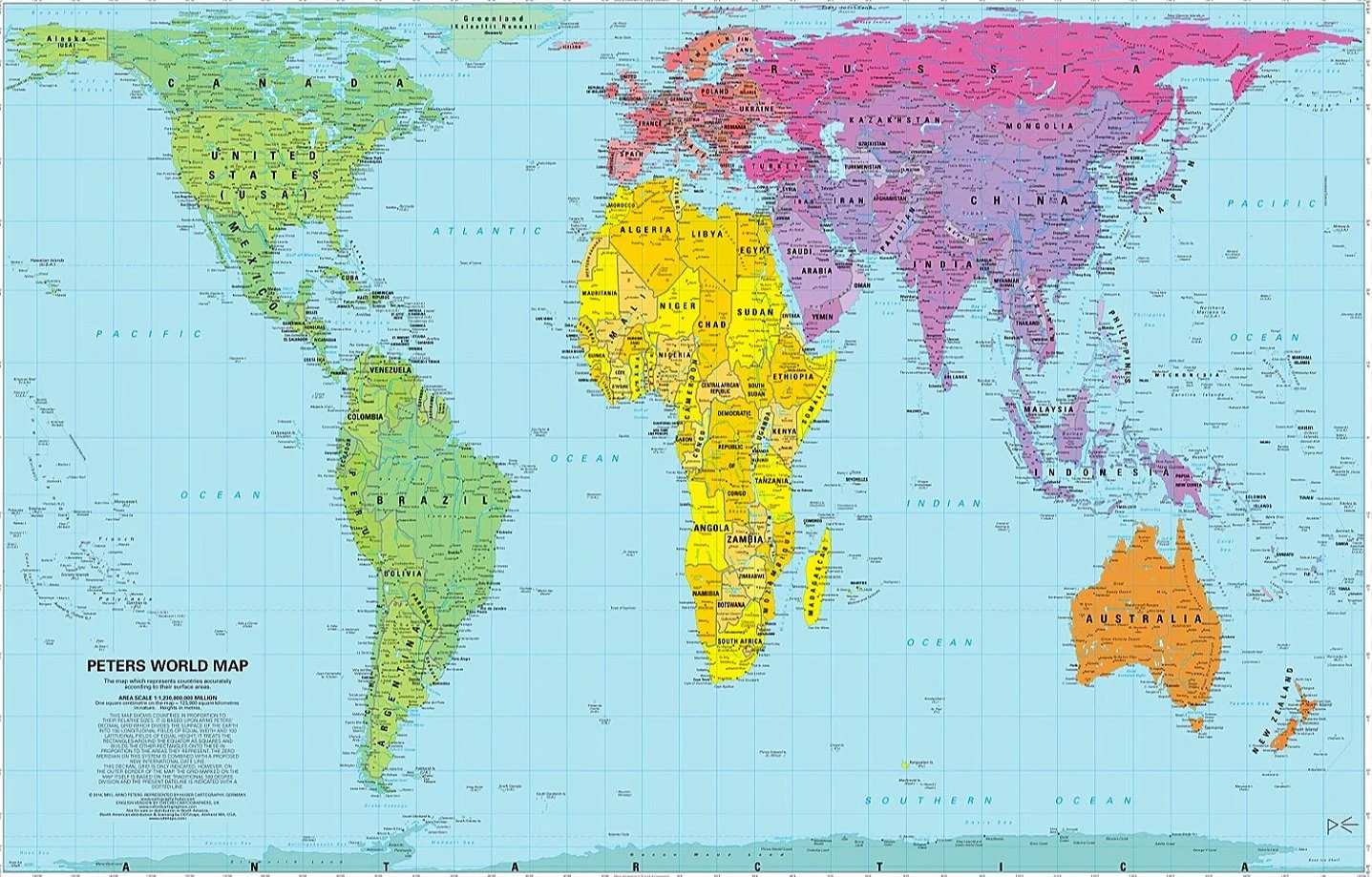
▼The Peters world map shows the accurate sizes of the continents in relation to each other but distorts their shapes.